Nov 14, 2025
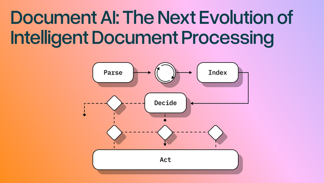
Document AI: The Next Evolution of Intelligent Document ProcessingPersona
Industry
Use cases
Property Survey OCR
[ Property Survey OCR ]

Turn messy property survey PDFs into verified, layout-aware JSON with LlamaParse in minutes.
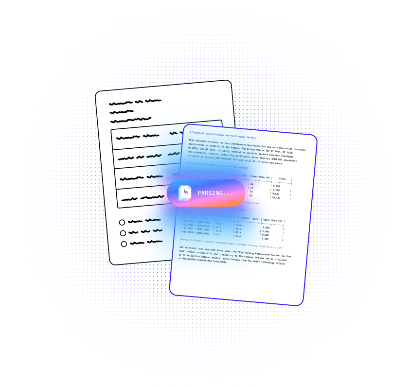
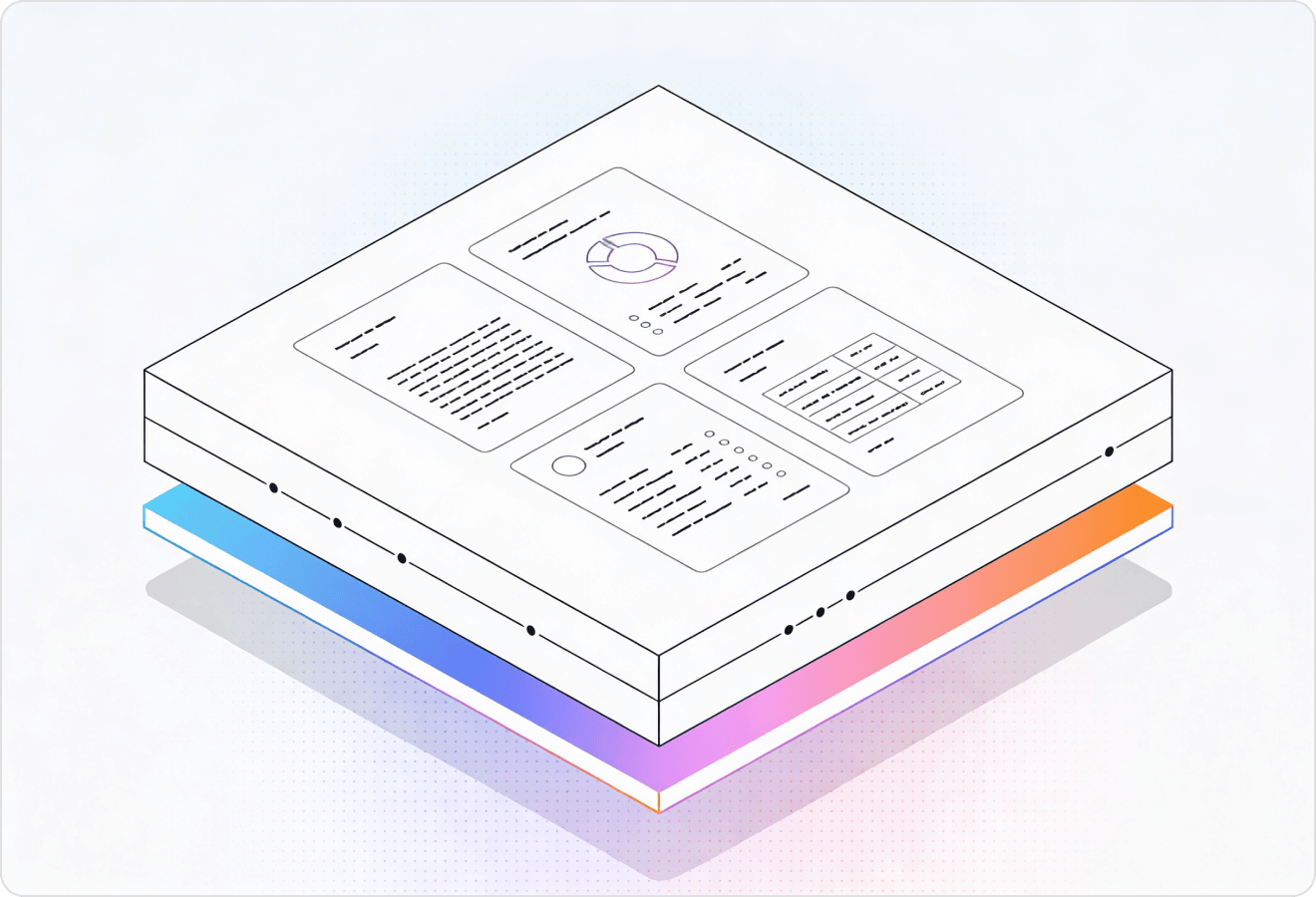
LlamaParse turns messy property surveys, plats, and scanned PDFs into clean JSON and ready-to-use tables you can trust in downstream systems. It reads layout, callouts, and embedded tables with validation loops and confidence metadata, so teams move faster with fewer manual checks.
Best-in-Class Accuracy

Turn loss adjuster site surveys, photos, and sketch-heavy reports into structured JSON so coverage decisions and repair estimates aren’t blocked by messy tables and inconsistent layouts. LlamaParse preserves reading order and extracts room-by-room measurements and materials cleanly, reducing rekeying and speeding up straight-through claim handling.

Convert property condition reports and survey PDFs into Markdown that keeps multi-column sections, schedules, and exception tables intact for faster underwriting and IC memos. With natural-language parsing instructions, teams can pull only critical fields like deferred maintenance, compliance issues, and capex line items into their deal model.

Digitize submitted property surveys and plan sets into searchable, layout-aware records so staff can quickly verify setbacks, easements, and parcel annotations without hunting through scanned pages. LlamaParse’s granular metadata and citations support auditable reviews and faster permit turnaround with fewer manual checklists.

Ship a reliable survey-ingestion pipeline that handles real-world scans, stamps, and mixed formatting without writing brittle post-processing code to fix scrambled OCR. Use JSON mode plus tier-based agentic processing to keep unit economics predictable while extracting standardized fields for comps, risk scoring, or automated quoting.
The Solution
01
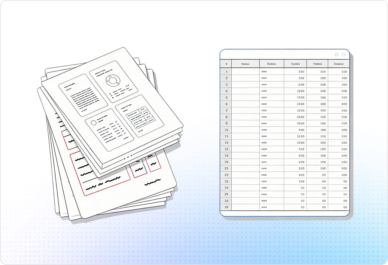
LlamaParse understands real page layout so it can extract parcel IDs, legal descriptions, owner names, and addresses in the right reading order—even across multi-column property survey reports. This prevents the classic “scrambled text” problem that makes downstream matching and reconciliation unreliable.
02
Property surveys often hide critical data in boundary, monument, and coordinate tables; LlamaParse preserves row/column structure instead of flattening everything into text. You get clean Markdown or structured outputs that are straightforward to validate and load into your GIS or appraisal workflow.
03
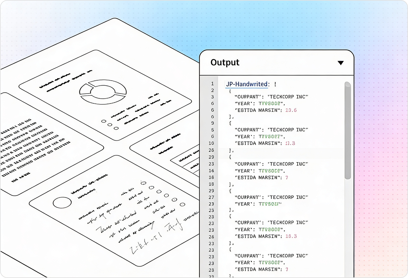
LlamaParse can interpret non-text elements like survey sketches, symbols, stamps, and annotated callouts using vision-capable parsing rather than treating them as blank space. That means bearings, distances, and notes embedded in diagrams don’t get lost when you convert scans into AI-ready data.
04
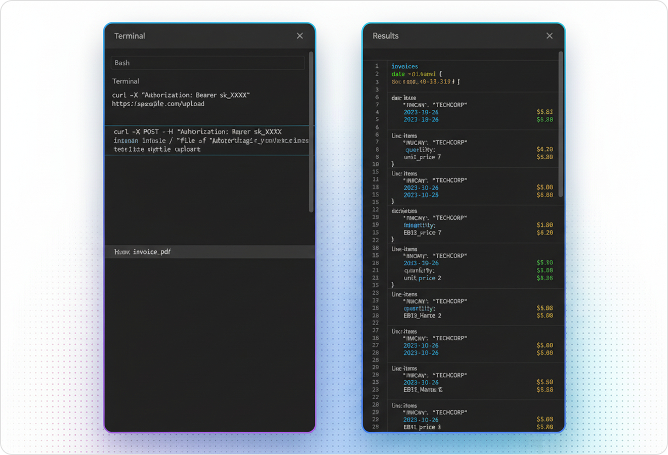
LlamaParse can return structured JSON plus granular metadata like page references and element locations to support audit-friendly extraction. For property survey parsing, this makes it easy to trace every extracted value back to the source region for QA, exception handling, and human review.
Technical OCR documentation
Explore our developer guides to easily connect your document pipelines to LlamaParse.
Explore the documentation
Our AI catches the typos that tired eyes miss.

Export to Excel, JSON, XML, or directly via API.

SOC2 Type II compliant with end-to-end encryption.

Train the tool on your specific forms in minutes, not days.

Average processing time of <3 seconds per page.
LlamaParse’s support of a wide variety of filetypes and its accuracy of parsing made it the best tool we tested in our evaluations. The LlamaIndex team was very responsive and we were off to the races within a day.
Common FAQs
01
Yes. Layout-aware extraction keeps parcel IDs, legal descriptions, owner names, and addresses in the correct reading order—even in multi-column or complex report layouts. That means fewer mismatches downstream and more reliable reconciliation with your existing records.
02
It preserves true row-and-column structure instead of flattening tables into a text blob. You can export clean Markdown or structured data that’s easy to validate and load into GIS, appraisal, or internal QA workflows.
03
Yes—multimodal diagram understanding helps interpret non-text elements rather than treating them as empty space. This reduces the chance of losing bearings, distances, and important notes that are often embedded directly in diagrams.
04
Do you provide JSON output I can audit and trace back to the original document?
You can receive structured JSON along with page references and element locations for each extracted value. This makes QA and exception handling faster because reviewers can jump straight to the source region to verify or correct results.
05
What happens when a scan is messy—skewed pages, faint text, or inconsistent formatting across surveyors?
The parser is designed to be resilient to real-world survey variability by using layout and visual cues in addition to raw text. When something is ambiguous, traceable outputs make it easy to flag, review, and confidently resolve edge cases instead of silently accepting bad data.
06
How quickly can we integrate this into our GIS or appraisal pipeline?
Most teams integrate in days, not weeks, because outputs are already structured and table-safe. Start with a small set of surveys, validate fields and tables in your workflow, then scale up once you’re satisfied with accuracy and traceability.